Places you went light up
Prefectures and towns you visited are colored in, so you can see at a glance how many you have been to. A timeline lets you look back in order.
Photos from days out with your kids pile up in the camera roll, until you can no longer remember where you went. Yorisoi Map reads the date and place from those photos and places them on a map, one by one.
An iOS app for iPhone and iPad. Up to 30 records are free. Exporting is free with no limit.
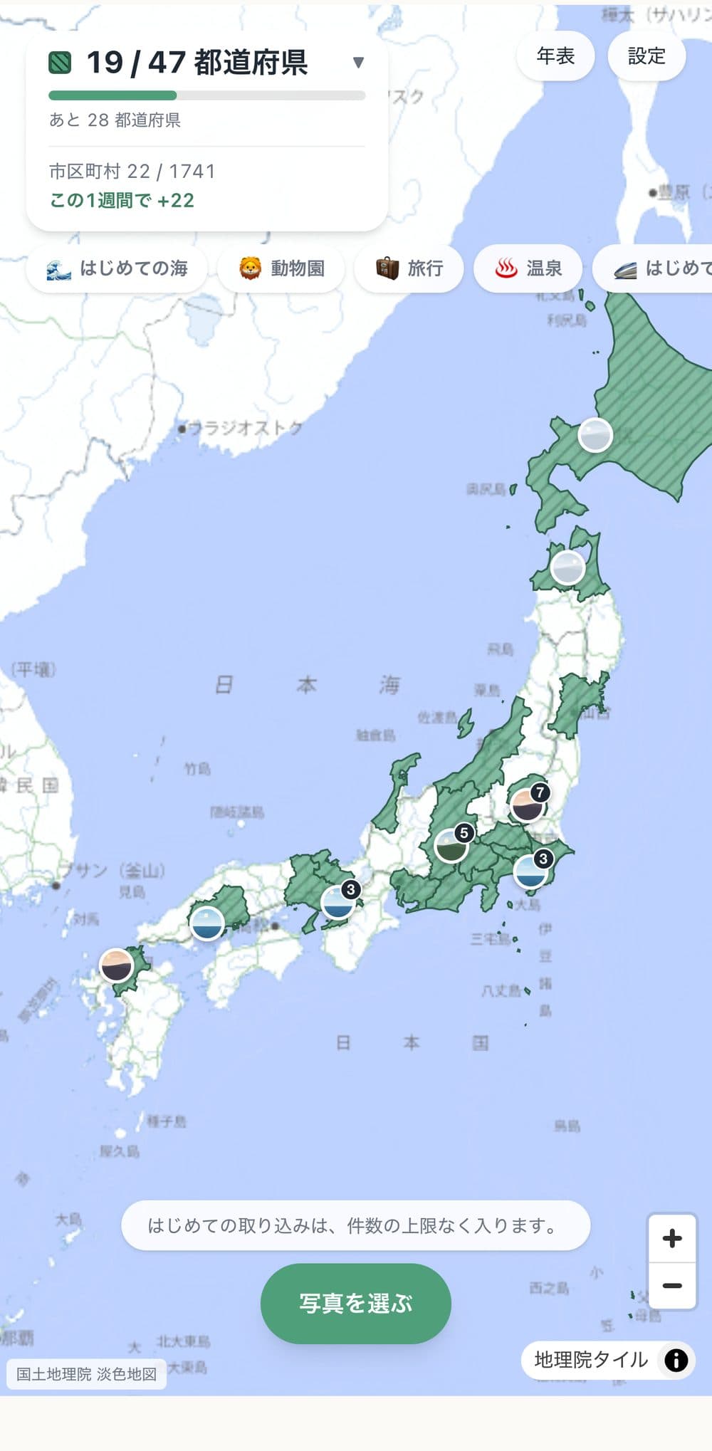
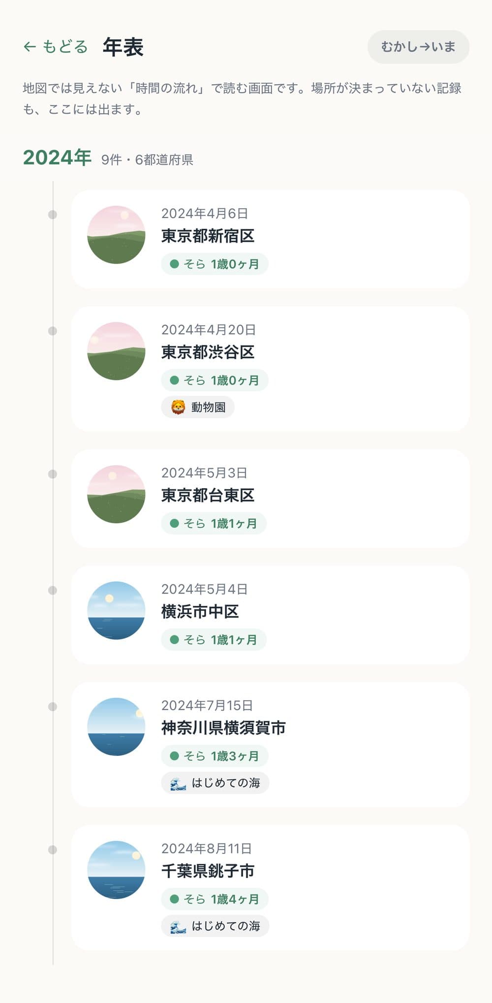
Prefectures and towns you visited are colored in, so you can see at a glance how many you have been to. A timeline lets you look back in order.
The app never asks for location permission. Places come only from the location stored in your photos. Towns are identified on your device; only when looking up a place name or address are those coordinates sent to Apple's map service (you can turn this off). Original photos are never kept anywhere.
Export all your records, photos included, as a single file. Even if this app is gone, it opens in any browser.
Choose photos from days out with your family. No dates or places to type.
Photos without a location can be placed by guessing from the ones before and after. You can fix them by hand.
Just look at the colored map. You can also share it as a single image, or make your own badges like "First time at the sea".
Your first month is free if you have never subscribed before. After that it renews automatically at ¥300 a month.
Canceling never deletes your records. Viewing past records and exporting everything stays free, forever. Renews monthly; you can stop anytime from iOS Settings > Apple ID > Subscriptions up to 24 hours before renewal.
If something is unclear or not working, email us. We will tell you what we know, as it is.
No ads. No account needed.